
Take a Neighborhood Tour with Arlington Walkabouts
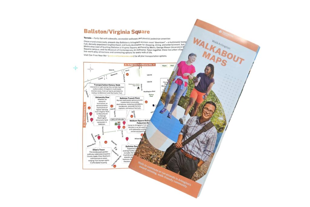
The WalkArlington program — a county initiative through the Department of Environmental Services — has produced more than 22 free, downloadable self-guided neighborhood walking maps called Walkabouts. Each map covers a different part of Arlington, noting distances, terrain, and highlights that make the neighborhood special. Each featured neighborhood has its own Walkabout map so you can plot your route and explore on foot, at your own pace. From Rosslyn’s dramatic skyline views to Cherrydale’s cherry blossoms and public art to a family-friendly stroll through Shirlington, there’s a route for every interest and fitness level. Maps can be downloaded online or picked up as a printed brochure by contacting the program.